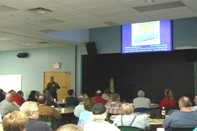
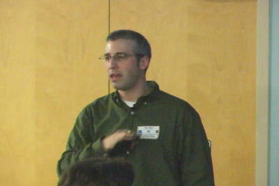
NEW – 3/24/2007 – The Advanced Severe Weather Spotters’ Course was a resounding success! About 85 students gathered in a classroom at the Vineyard Community Church in Springdale, OH to see and hear several presentations.
They gained more advanced knowledge of how the National Weather Service’s Doppler radar works, and what some things they may see on the screen mean. Flooding was discussed, since it is the number one killer among weather related phenomenon. Meteorologists discussed what they do to process information that is used to create warnings and how spotters are an important part of that process. Then students heard how the complex new enhanced Fujita scale is changing the way tornadoes and the damage they cause are rated.
The staff of WARN is extremely pleased with the class. We’ve heard many positive comments about the class. Thank you to all of the attendees for coming to learn and improving your spotting skills. Thank you to the National Weather Service staff for presenting great material, in an entertaining and easy to understand format. This is yet another way that the NWS and the spotter program work together to improve severe weather safety!
Here are a couple of pictures from the class. They are frame captures from a video camera.

Doppler radar works, and its capabilities and limitations.

Meteorologist Mike Ryan presents one of many
topics at the Advanced Spotter Course.
